top of page

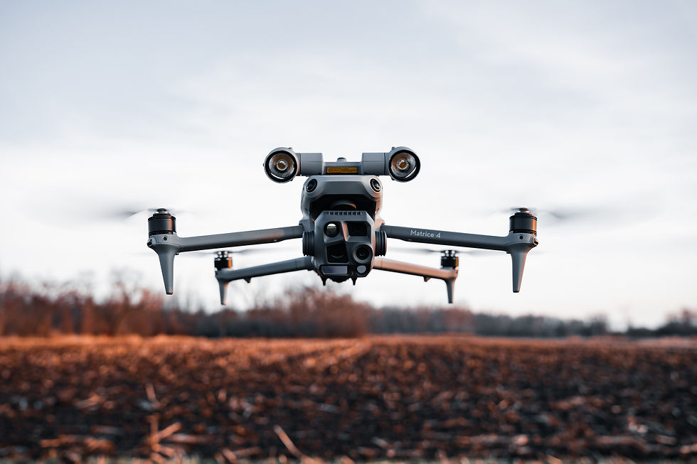
Thermal drone services for recovery, wildlife management, and land intelligence.


Aerial Wildlife & Land Services

Drone Deer Recovery
With high-resolution heat detection and real-time tracking, we cover ground fast and help you recover your deer with confidence.

Herd Analysis
Using thermal imaging and geo tagging we track herd size, movement, and behavior, providing clear insights for smarter land and wildlife management.
Aerial Land Imaging
Capturing high-resolution overhead views to reveal property layout, terrain, and key features, ideal for planning, mapping, and land management.
bottom of page